Queensland will be fighting a battle on two fronts as cyclone, flooding threaten NQ coast
The countdown has begun for Tropical Cyclone Kirrily’s arrival as flood-hit Queensland regions brace for more devastation.
Widespread flooding is set to impact the state for days after Cyclone Kirrily crosses the north Queensland coast as early as Thursday night, most likely as a severe category 3 system.
“It’s incredibly important that individuals and households prepare themselves,” Premier Steven Miles said on Tuesday.
After days of anticipation, an escalating tropical low over the Coral Sea is due to officially become Cyclone Kirrily on Tuesday night.
It is set to impact the coast between Cardwell and Airlie Beach near Townsville barely 48 hours later, bringing destructive winds up to 150km/h and “life threatening” flash flooding.
Damaging wind gusts of up to 120km/h are set to develop around the Whitsunday Islands from as early as Wednesday evening, shifting north toward Townsville.
However, authorities have warned flooding may impact the state for days including a region still recovering from Tropical Cyclone Jasper’s aftermath.
You might like

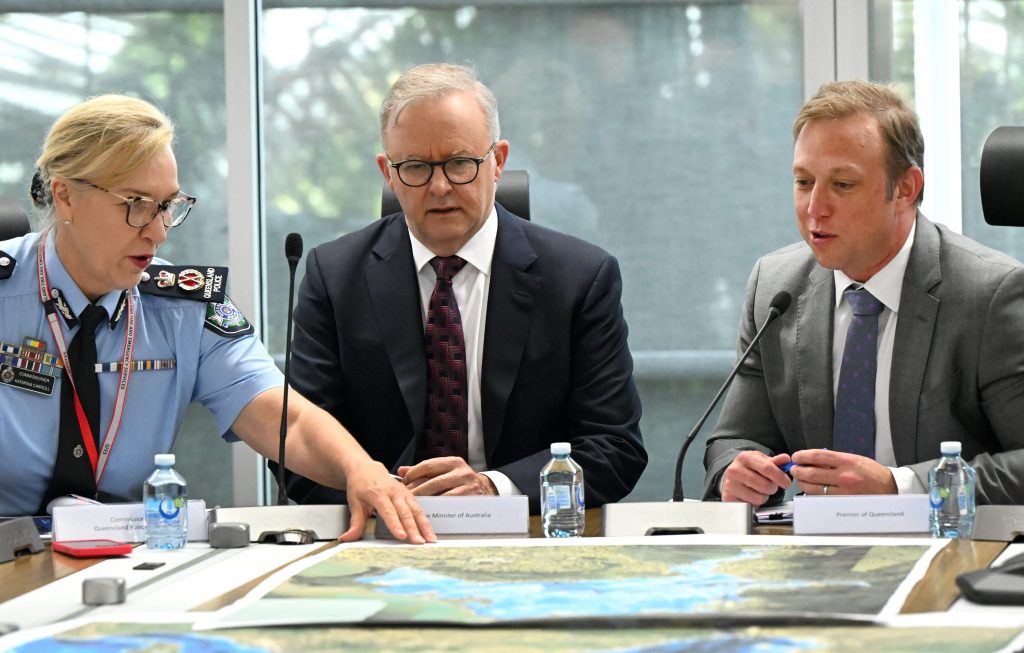
State disaster co-ordinator Deputy Commissioner Shane Chelepy said a cyclone may be looming but authorities were preparing for “two events”.
“We’re planning for the cyclone crossing … but we are also planning for a second event that may come from the intense rainfall that the bureau is forecasting.”
Flooding caused by Kirrily is set to impact central and southern Queensland later in the week.
“We will see heavy and intense rainfall as this system crosses and beyond,” the Bureau of Meteorology’s Laura Boekel said.
“We can also expect intense rainfall which may lead to dangerous and life-threatening flash flooding and that’s close to the centre of this system.”
Flash flooding is set to impact the north from Townsville to south of Mackay before moving inland and up to Cairns by Thursday.
Stay informed, daily
Communities north of Cairns are still recovering from record flooding caused by Jasper, which was a category 2 system when it devastated the region barely a month ago.
After crossing the coast, Kirrily is expected to weaken into a tropical low, bringing significant rainfall to the state’s central and southern inland areas through to next week.
“This could be a very widespread event as well as a long duration event,” Ms Boekel warned.
Authorities stopped short of asking Queenslanders to cancel their Australia Day long weekend plans but asked them to be on high alert and monitor warnings.
“We expect a lot of people on the roads this weekend because it is a long weekend, normally a time where we camp and enjoy the festivities,” Queensland Police Commissioner Katarina Carroll said.
“During the disaster season already we lost seven lives … within two days.
“We don’t want to see that again – please stay connected.”
Extra emergency services crews are on standby from Townsville to Rockhampton including swift water rescue teams with interstate assistance also expected.
The Australian government may also be called on with Queensland emergency services still fatigued from the huge recovery effort in the aftermath of Jasper and storms that devastated the southeast.
Back-up energy workers have also been deployed to Rockhampton, ready to move into cyclone hit areas.
Meanwhile, a tropical low that caused flooding and evacuations in Northern Territory over the past week is set to peter out in Western Australia.
The low is currently in the Pilbara region, prompting a severe weather warning with heavy rainfall possible for parts of northern WA.
It is set to track south before “running out of juice”, with falls of up to 100mm decreasing by Friday.
Want to see more stories from InDaily Qld in your Google search results?
- Click here to set InDaily Qld as a preferred source.
- Tick the box next to "InDaily Qld". That's it.