Three years on flood watch, now bureau says La Nina may be on the way out
Three years of climate anxiety and widespread flooding may be nearing an end as the Bureau of Meteorology suggests the ‘rain bomb’ conditions caused the La Nina weather pattern are set to ease.
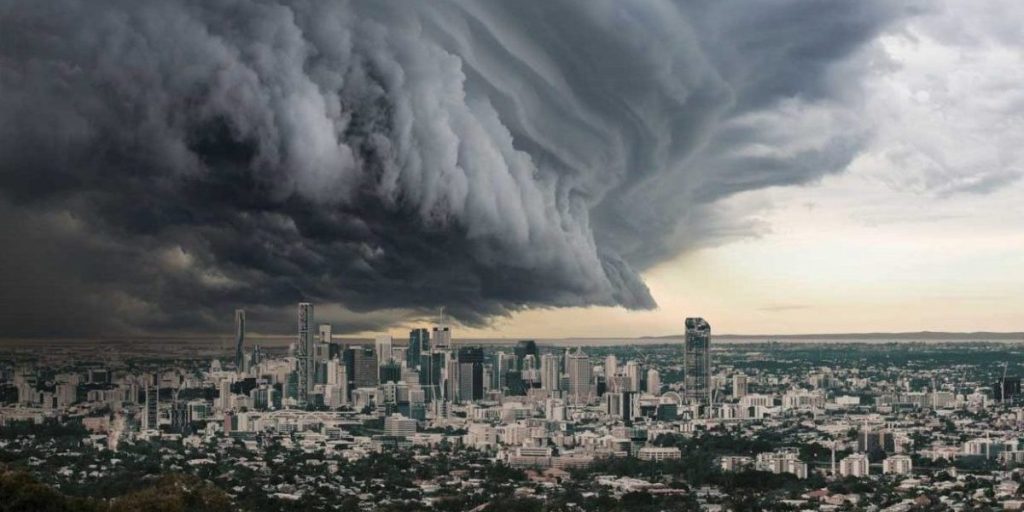
In its latest update, the BOM suggests the powerful La Niña effect, blamed for most of the east coast’s massive rainfall, may be easing.
The Bureau has even left the door open for a switch back to El Nino, the pattern that left much of Queensland in drought conditions until 2020.
The bureau says La Niña, which for the past three years has been the dominant influence bringing cool, wet conditions to much of the Australian east coastline, appears to be weakening faster than usual.
It may mean Queensland escapes some of the wild weather that has deluged other parts of Australia in recent months, where flooding continues in South Australia as well as western NSW and Victoria.
BOM meteorologist Pieter Claasen says that while we are “still very much in the La Niña phase”, it is weakening quite rapidly.
“It probably won’t last too much longer,” he told the ABC.
“Certainly, it looks like the La Niña will decay earlier than typical, it’s already started to decay and may return to neutral shortly.”
You might like
The latest BOM outlook, released on Wednesday, suggests there is a chance that could change next summer.
But while there is the possibility of an El Niño event, the bureau says it could be months before we have a good idea about what might happen.
“ENSO outlooks that extend through autumn should be viewed with caution,” the weather outlook reads.
Claasen says it’s just too early to tell whether Australia’s east coast will be impacted by El Niño.
“It’s not really until late summer, early autumn that we really get a clearer picture of exactly what’s coming,” he said.
“There is a bit of a barrier to predictability that occurs at this time of year to be able to accurately forecast the next phase of the ENSO cycle.” La Nina’s decline means the rest of summer could be clearer in some parts of the country.
“Our rainfall outlook isn’t as strongly wetter than average as it has been for the last few years,” Claasen said.
“For much of Queensland, the rest of summer is looking neutral to slightly above neutral conditions.
Stay informed, daily
“So not that really strong signal that we’ve seen in the past with these outlooks, where it’s been something like 80 per cent likelihood of exceeding median rainfall.
“Now it’s more like 50 to 60 per cent chance it will exceed median rainfall.”
During an an El Nino phase, the Walker Circulation is reversed and downward, pushing air brings dry conditions to Australia(Supplied: Bureau of Meteorology )
There’s usually a neutral phase between the La Nina and El Nino influences.
“[ENSO] could go back to neutral,” ANU climatologist Professor Janette Lindesay told the ABC.
“That’s another thing a lot of people don’t realise, that conditions in the Pacific don’t have to be El Niño or La Niña.
“They can just be neutral with nothing going on.”
The most recent El Niño saw Australia experiencing catastrophic Black Summer bushfires in 2019/20.
Farmers in some parts of the country say they’re already experiencing drier conditions.
Professor Lindesay puts the chances of a El Niño developing at about 65 per cent.
“Now the current outlook for the rest of this year is that there’s the potential for an El Niño event to develop once we get to June of 2023,” she said.
“If we do get an El Niño coming up after this La Niña – and there’s no guarantee of that – there’s about a, sort of, 65 per cent chance we’re looking like an El Niño event.”
Want to see more stories from InDaily Qld in your Google search results?
- Click here to set InDaily Qld as a preferred source.
- Tick the box next to "InDaily Qld". That's it.