BoM alert, not alarmed as La Nina thinks about a Spring encore
The Bureau of Meteorology has switched to a La Nina alert as the likelihood of the weather pattern returning this year increased by around three times the normal risk.
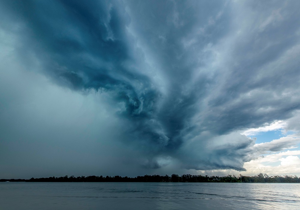
It follows a warning from Premier Annastacia Palaszczuk for Queenslanders to prepare for the return of potential heavy rain and flooding. This time around, if the La Nina occurs, it would also be combining with a negative Indian Ocean Dipole, a weather pattern that brings rain from the west to the eastern seabord, but mostly the southern states.
“The bureau’s three-month outlook shows a high chance of above average rainfall for most of the eastern two-thirds of the Australian mainland between September and November 2022,” BoM said.
“The outlook reflects a range of drivers including a negative Indian Ocean Dipole event and warmer than average waters around Australia.”
Other weather forecasters have not been as conservative as BoM and have already called a La Nina.

“This reporting does not reflect the complexity of Australia’s climate and is not entirely accurate,” BoM said.
The latest alert status from BoM meant there was a 70 per cent chance of La Nina’s return.
“With wet soils, high rivers and full dams, and the outlook for above average rainfall, elevated flood risk remains for eastern Australia,” it said.
“This rainfall outlook is of great importance to communities in eastern Australia given the increased risk of flood following above average rainfall for the past few months and above average soil moisture levels.”
Stay informed, daily
Want to see more stories from InDaily Qld in your Google search results?
- Click here to set InDaily Qld as a preferred source.
- Tick the box next to "InDaily Qld". That's it.