Fire and ice: Bureau warns of hailstorms, followed by heatwave this weekend
There’s a good chance severe storm warnings will be issued for parts of Queensland this afternoon, ahead of stifling conditions into the weekend, the Bureau of Meteorology says.
Meteorologist Livio Regano said the cells were expected to hit central Queensland first and Brisbane and the south east by this evening.
“By severe, we mean the possibility of damaging hail, 2 centimetres or more, damaging winds or heavy rain causing flash flooding,” he said.
“But the severe storms won’t quite reach the coast in most areas, apart from the south east, when it will probably be after dark.”


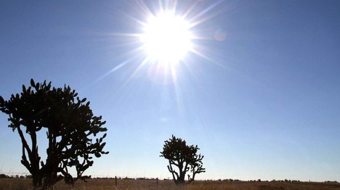
Inland temperatures are set to soar past 40 degrees Celsius tomorrow, with the heatwave lasting until Tuesday.
Senior Meteorologist Laura Boekel said temperatures will begin to climb today, before rising up to 10C above average in the south and up to 5C above average in the north on Saturday.
She said while coastal parts would be spared the worst of the heat due to a sea breeze, inland regions would face heatwave conditions until Tuesday.
“It’s really important to note it is the minimum temperatures that are increased as well as the maximum temperatures,” Ms Boekel said.
Stay informed, daily
“We really don’t see a reprieve in the heat and that’s what makes the impact so severe — especially for those that are more vulnerable in our community.”
Ms Boekel said hot, windy and dry conditions could result in a severe fire danger warning being issued for the Darling Downs and Granite Belt tomorrow.
A southerly change due by Wednesday is expected to restore near-average temperatures to most of the state.
– ABC / Ashleigh Stevenson and Jason Dasey
Want to see more stories from InDaily Qld in your Google search results?
- Click here to set InDaily Qld as a preferred source.
- Tick the box next to "InDaily Qld". That's it.